
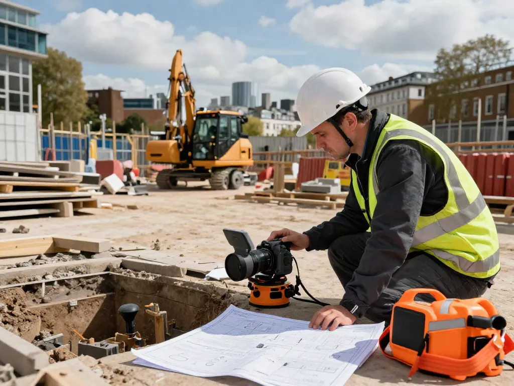
Understanding GPR Survey London
Ground Penetrating Radar (GPR) surveys have emerged as an indispensable tool for various industries, particularly in London, where the complexity of subsurface features poses unique challenges. By utilising this innovative technology, professionals can accurately map, locate, and assess underground utilities and structures without invasive procedures. This non-destructive method not only guarantees efficiency but also minimises disruptions in urban environments. When exploring options, GPR Survey London offers comprehensive insights into this technology and its applications.
What is Ground Penetrating Radar?
Ground Penetrating Radar (GPR) is a geophysical surveying method that employs radar pulses to image the subsurface. The technology operates by emitting electromagnetic waves into the ground, which reflect off different materials, allowing for a detailed analysis of what lies beneath. GPR systems consist of a transmitter and receiver; the transmitter sends radar waves, and the receiver captures the reflected signals. These reflections are then analysed to create a visual representation of the subsurface features.
Applications of GPR in London
In a bustling city like London, GPR is utilised across various sectors, including:
- Utility Detection: Identifying and mapping underground utilities such as water, gas, sewer lines, and telecommunications.
- Construction: Assessing ground composition, detecting voids, and ensuring compliance with safety regulations.
- Environmental Assessment: Locating contaminants or assessing landfill sites prior to development.
- Archaeology: Discovering and analysing hidden archaeological sites without excavation.
Benefits of Using GPR for Subsurface Analysis
Employing GPR for subsurface analysis offers numerous advantages, including:
- Non-Invasiveness: GPR does not disturb the ground, preserving the site's integrity.
- High Resolution: The technology provides detailed images and maps, crucial for informed decision-making.
- Cost-Effectiveness: Reduces the risk of costly accidents due to unmarked utilities, ultimately saving time and resources.
- Fast Results: GPR surveys can often be completed in a fraction of the time compared to traditional methods.
Cost Analysis of GPR Surveys in London
Understanding the costs associated with GPR surveys is essential for effective project budgeting. The investment in GPR technology can vary widely, influenced by several factors.
Factors Affecting GPR Survey Costs
Several elements determine the overall cost of a GPR survey:
- Site Size: Larger areas require more time and resources, increasing operational costs.
- Depth of Investigation: Deeper surveys necessitate advanced equipment and longer survey times.
- Location Complexity: Urban environments with dense infrastructures can pose challenges that affect pricing.
- Project Urgency: Rush jobs often incur higher fees due to expedited service demands.
Budgeting for Your GPR Survey Project
To effectively budget for a GPR survey, it’s prudent to request quotes from multiple service providers and consider the scope of work. Potential clients should also factor in additional costs such as reporting and analysis services, as well as any necessary follow-up surveys or consultations.
Comparing Costs with Traditional Survey Methods
When weighing the costs of GPR surveys against traditional surveying methods, it's vital to consider not just the initial outlay but also the long-term benefits. While traditional methods often involve excavation and labour-intensive processes, GPR's non-invasive nature can result in lower overall expenses due to reduced disruption and faster project completion.
Best Practices for Conducting GPR Surveys
To ensure optimal results from GPR surveys, adhering to best practices is essential.
Pre-Survey Preparations and Planning
Before conducting a GPR survey, thorough planning is paramount. This includes:
- Site Assessment: Conducting a preliminary site inspection to identify potential obstacles.
- Client Consultation: Understanding the goals and requirements of the client to tailor the survey accordingly.
- Equipment Check: Ensuring all GPR equipment is functioning properly and appropriate for the survey's depth and complexity.
Executing the GPR Survey: Step-by-Step Guide
Implementing the survey involves several key steps:
- Setup: Positioning the GPR equipment appropriately on the site.
- Data Collection: Conducting the survey in a systematic manner to ensure comprehensive coverage.
- Monitoring: Continuously checking the data being collected for any immediate adjustments.
Post-Survey Data Analysis Techniques
After completing the survey, the data must be thoroughly analysed. This involves interpreting the radar signals and creating visual representations, such as maps or 3D models, which provide clarity on the subsurface structures and their conditions.
Challenges and Solutions in GPR Surveys
Despite its advantages, GPR technology does face challenges in various applications.
Common Misconceptions About GPR Technology
One of the most prevalent misconceptions is that GPR can identify all types of underground features. GPR is effective for detecting certain materials but may struggle with identifying non-metallic objects or very dense materials like concrete.
Overcoming Site-Specific Obstacles
Urban locations often present challenges such as crowded utility lines and varied soil conditions. Deploying advanced GPR techniques and collaborating with local authorities can help navigate these complexities.
Tips for Accurate Results in Urban Environments
For successful GPR surveys in urban settings, consider the following tips:
- Conduct Pre-Survey Research: Gather information on existing underground utilities and prior surveys.
- Use Advanced Equipment: Consider GPR systems designed for urban environments that offer higher resolution and depth capabilities.
- Team Collaboration: Work closely with construction and utility teams to ensure all perspectives are considered.
The Future of GPR Surveying in London
As we move into 2026, the GPR surveying industry is poised for significant advancements.
Emerging Trends in GPR Technology for 2026
Several trends are expected to shape the future landscape of GPR technology, including:
- Integration with GIS: Combining GPR data with Geographic Information Systems for enhanced mapping capabilities.
- Automation and AI: Implementing AI for data analysis, improving accuracy and efficiency.
- Enhanced User Interfaces: Development of more intuitive software for easier interpretation of GPR results.
Regulatory Changes Impacting GPR Surveys
With the evolving urban infrastructure, the regulations surrounding GPR surveys may also change. Professionals must stay informed about new guidelines to ensure compliance and safety.
Innovations and Their Implications for Survey Professionals
Emerging technologies such as real-time data processing and cloud storage are set to revolutionise how surveyors analyse and share their findings, paving the way for more collaborative and efficient workflows.
How Deep Can a GPR Survey Go?
The depth of penetration for GPR surveys can vary widely based on soil conditions, moisture levels, and the type of radar used. Generally, GPR can reach depths of up to 30 metres in optimal conditions; however, urban settings often limit this to less than 10 metres due to dense interference.
What Are the Best Survey Companies in the UK?
Choosing the right GPR survey company is crucial for project success. Factors to consider include experience, client testimonials, and the range of services offered. Companies that demonstrate a strong track record in GPR technology and have a deep understanding of local infrastructure challenges will likely provide the most value.